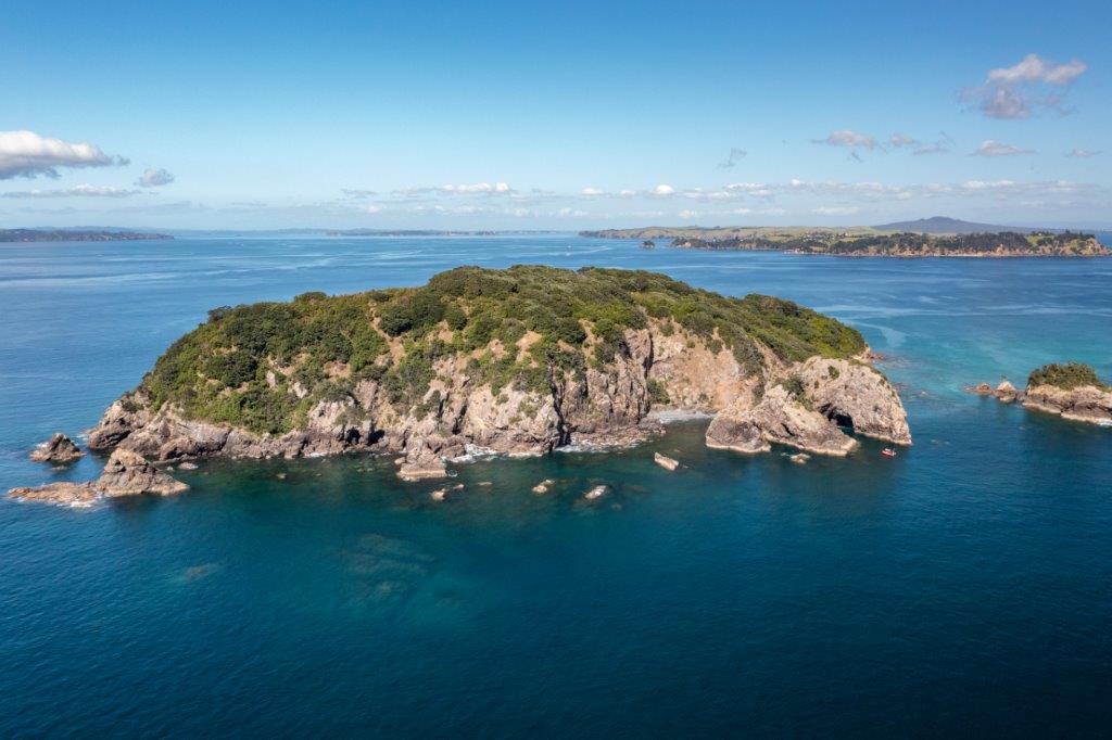
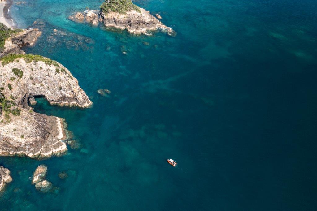
The Noises hold a very special interest for seabird lovers. Being home to at least…
A Second Look into the Past
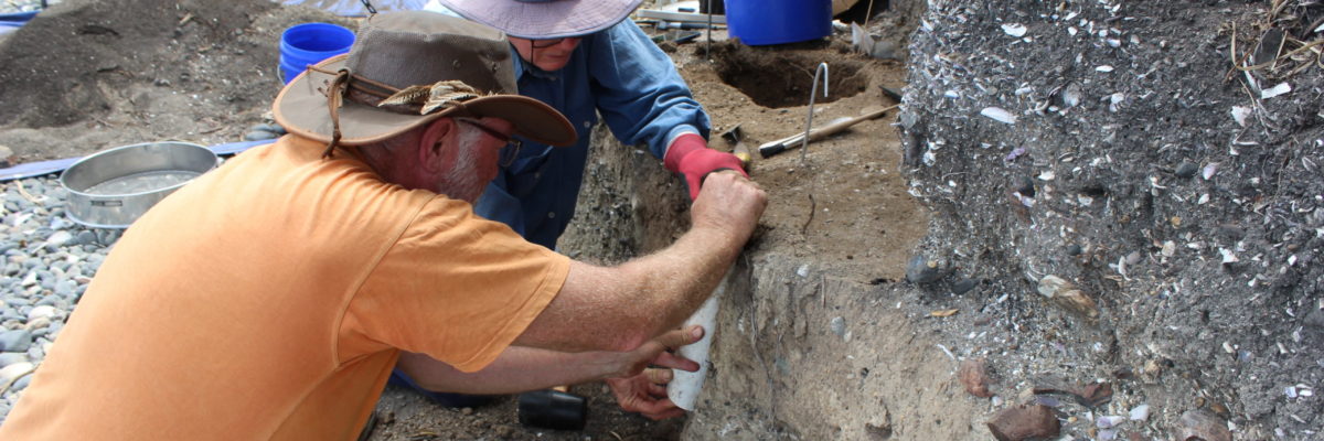
As Tāmaki Makaurau prepared for its fourth lockdown, archaeologists from Auckland Museum Tāmaki Paenga Hira were already isolating out on Ōtata Island. They were there to gather more information from the eroding midden located on the Main beach. Back in March 2020, just prior to the first lockdown (I promise there is no correlation), archaeologists in partnership with Ngāi Tai ki Tāmaki and the Neureuter Family conducted the initial excavation. The discovery of Māori occupation sealed beneath a layer of tephra (volcanic ash) from the eruption of Rangitoto, prompted a return to the island to investigate this significant discovery further. Although other archaeological sites in Tāmaki Makaurau predate the eruption, it is difficult to easily identify these places in the absence of the Rangitoto tephra. Any occupation below intact Rangitoto tephra must be older than 600 years. The Sunde site on Motutapu is the only other documented site where tephra directly covered occupation. See the earlier blog, Looking into the Past for more details on the first Ōtata excavation.
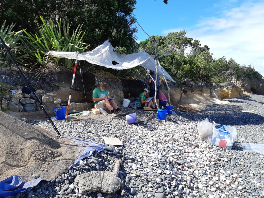
As the midden continues to erode it is important to retrieve vital information, especially from the pre-Rangitoto occupation, before more is lost. Loss of heritage sites to coastal erosion is an ongoing problem in the Hauraki Gulf, and the early sites, representing the first presence of Māori in the area, are particularly important for understanding what the landscape was like at the time – what was the forest like, what species of fish, birds, and shellfish were present before the emergence of Rangitoto altered the inner Hauraki Gulf area. The information recovered from the site on Ōtata in the form of shell, bone, and stone will be looked at alongside Mātauranga Māori to build a picture of Māori activity on the island and support ancestral stories. The results will also feed into ongoing research being conducted around the Noises Group, looking at current biodiversity.
After a bumpy trip out to Ōtata, gear and personnel were quickly unloaded onto the beach, the human chain approach well executed. A lot of planning goes into an excavation. Working on a remote island outside Uber’s delivery radius requires a lot of gear; food for the duration of the visit, buckets, sieves, trowels, and shovels for excavating, and equipment for collecting and recording samples all need to be assembled. A major consideration is deciding on the best spot to lay down excavation squares that will provide the right information while also reducing any further damage to the vegetation and coastline. An area of 3 meters along the exposed face was targeted as the Rangitoto tephra and earlier occupation layers were visible in the exposed face and this area was especially vulnerable to future erosion.
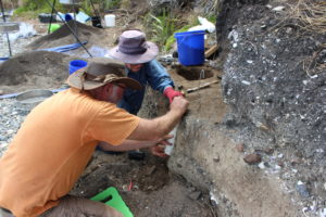
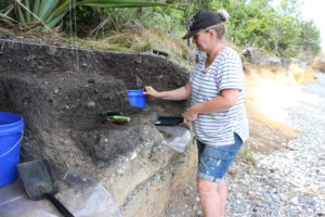
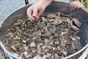
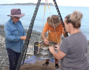
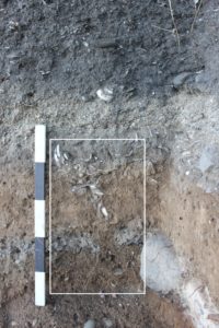
Investigations revealed five layers built up by occupation, the earliest during the 1300s and the latest in the 1700s. Each occupation was separated by a natural event, such as the eruption of Rangitoto, wave action, or natural build-up of soil. For consistency, the same excavation strategy was employed where each layer was carefully excavated using a trowel and sieved to remove the excess soil while retaining the smallest fragments of fish bone. While several small fire features were uncovered, none were on the scale of the large 1 metre plus hangi found last time. An interesting discovery was a stone-surrounded fire feature containing wood ash sitting directly under the Rangitoto tephra. Postholes were also present, suggesting structures or shelters were once present. Like the earlier excavation, shell, mostly mussel, was recovered along with bone from fish, birds, and sea mammals suggesting a diverse diet. Charcoal from fires, shell and some bone can be carbon-dated to tell us when the area was being used. Stone flakes of greywacke and obsidian were also present. Obsidian from Mayor Island was identified, the ability to source volcanic rocks to where they came from is useful in reconstructing the movement of people and resources.
Another 500 kg of samples were returned to Auckland Museum to continue the time-consuming process of sorting through the material, identifying the species present and counting how many individuals of all the shellfish, fish and bird species were eaten. Material often discarded as rubbish is a valuable source of information to archaeologists as it can reveal a detailed story of the use of an area and resources by people in the past. Food preferences can be identified, along with the season in which food was being caught and the type of activities that occurred at the site, such as fishing or adze making. Environmental information such as changes in water temperature, vegetation and species diversity through time can also be recorded from archaeological data. Behind the scenes, archaeologists, specialists and volunteers are hard at work analysing the samples, creating a rich database to contribute to conversations about climate change, resource management and conservation.


